 Hullah
GPS Surveying And Mapping
We have an experienced team ready to install your drainage.
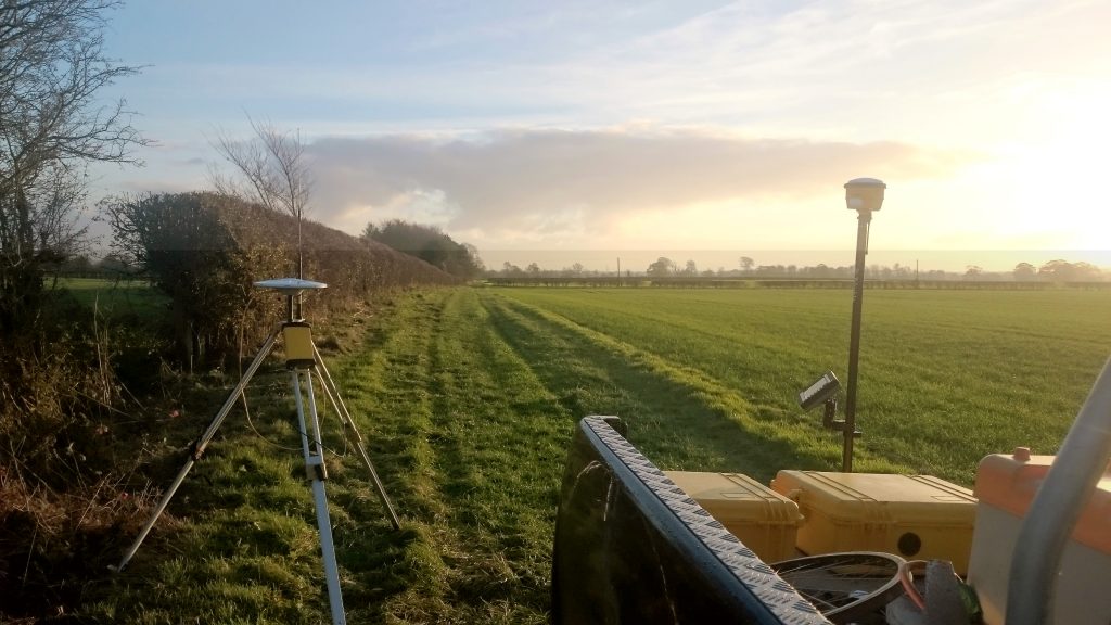
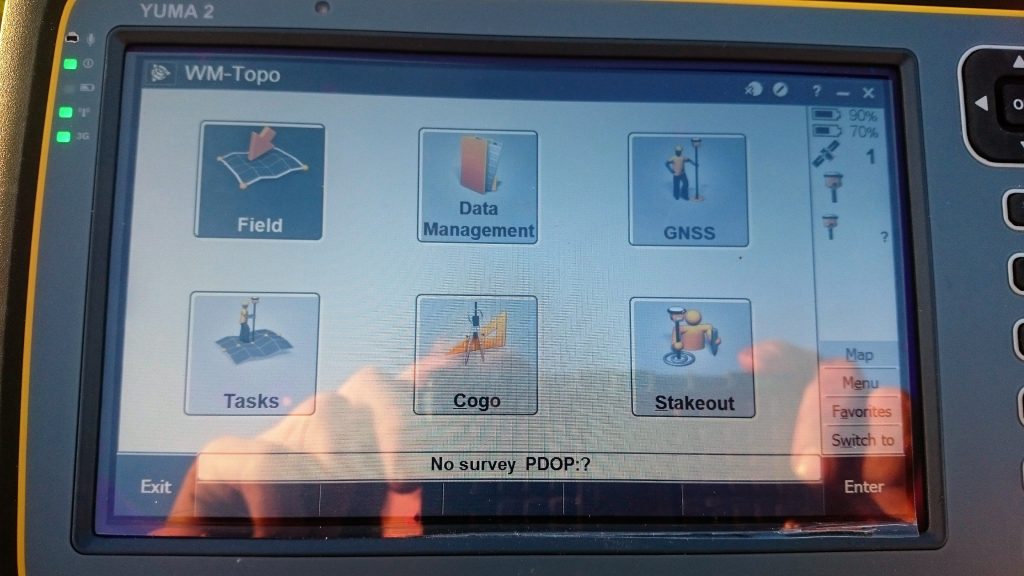
It is important to talk with all clients to understand the current problems, know where the existing field drainage lies, understanding budgets and time scale. We have the very latest Surveyors equipment with GPS technology which allows us to take accurate data of the field. This technology can record existing outfalls, culverts and levels which allow us to build a new drainage proposal.
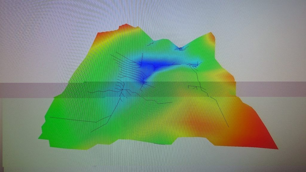
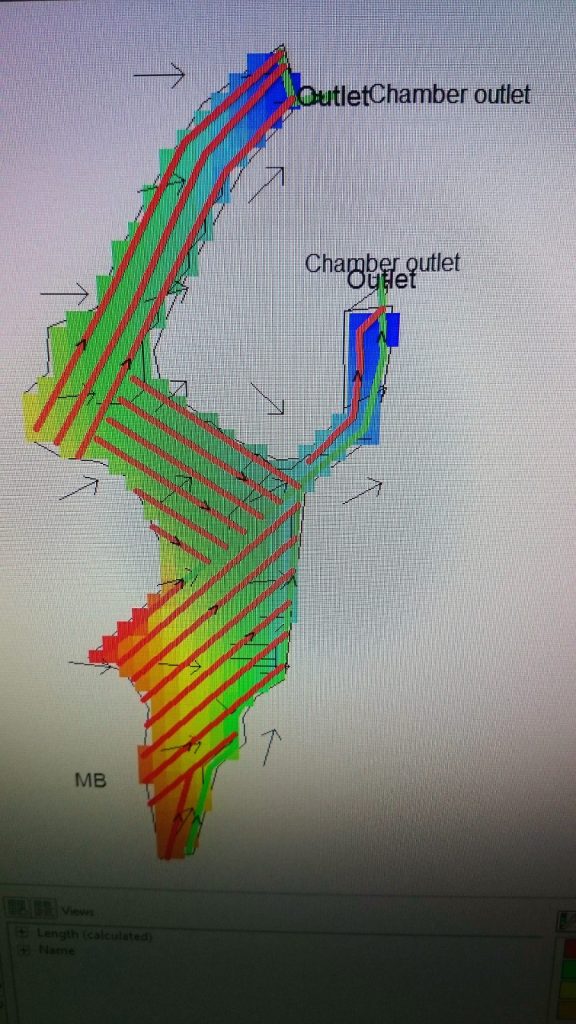
The information that has been recorded is taken back to the office to design a detailed drainage plan.
This type of surveying can also be used for:-
- New boundarys / Fences
- Golf courses
- Forestry grant application
- Land survey for planning